BELOW THE LINE | GEOLOGICALLY IT’S NOW
We exist in the interval between the massive Pleistocene lake that was just here and the lakes of the future yet to come.
Given that our planet is 4.6 billion years old, humans who are alive in 002011 are living instantaneously with Lake Bonneville. The passage of time that separates us from waves that shaped the beach terraces within the Bonneville Basin is an imperceptible flash. The massive body of the lake lapped continuously for over 17,000 years.
At its maximum, around 15 millennia ago, Lake Bonneville broke through its northern shoreline at Red Rock Pass, Idaho, and precipitated a catastrophic flood that surged west to the Pacific Ocean. The lake’s level dropped more than 300 feet in a matter of days.
Below the Line was a two week field-based research trip/performance work following the ancient shorelines of Pleistocene Lake Bonneville throughout the Bonneville Basin (most of present day Utah) in May 002010. Lake Bonneville once spanned more than 20,000 square miles and had a depth of over 1000 feet. For two weeks we gathered materials to document and creatively respond to the ancient shores of Lake Bonneville, using photography, drawing, super 8 film, and GPS mapping/logging. The Below the LIne project was supported by a CLUI Wendover residency, 002010.
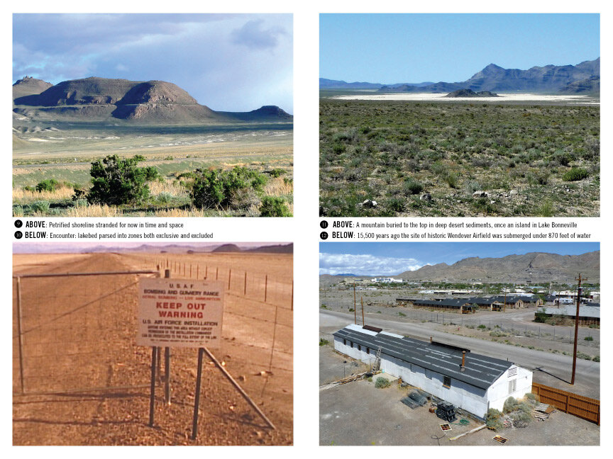
The visual essay of our journey through the Basin follows the still vivid traces of the Lake that exist today. It documents infrastructure (highways, military installations, mines, parks, suburban housing) that has been constructed in—and because of—the lake-cut contours of the Basin. Contemporary infrastructures exist on surfaces that are conveniently flat, hard, filled with valuable minerals and commanding of scenic views—all thanks to the lake’s current recession.
The resulting photo essay, Geologically It's Now, is published in the publication accompanying the Landscape Futures (2013) edited by Geoff Manaugh.
_____