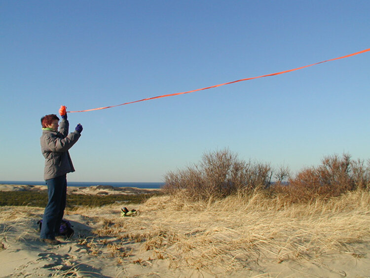
Provincelands, Cape Cod National Seashore
TOPOGRAPHICAL SIGNALING
Natural and built forces shape and shift the topographies of landscapes, urban environments, and human experiences. We locate our work at emerging edges of places in the making. There, we invent transmission devices and responsive practices that move with, change shape, frame light and sound, mark rhythms, and indicate direction and intensity of forces in play.
The resulting topographical signals make the emergence of natural and built topographies material and palpable--and available for creative expression and making. They offer experiences of what cannot be grasped by words: namely, sensations of emergence...the felt reality of being-in-relation.
SELECTED IMAGES from 002005-6

Provincetown, MA

Provincetown, MA

Park Slope Brooklyn

Mt. Greylock, North Adams, MA
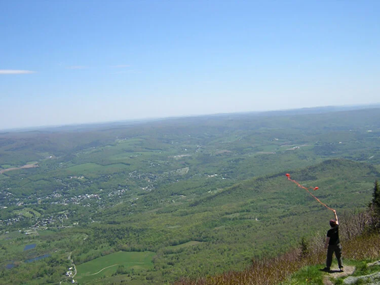
Mt. Greylock, North Adams, MA

Marconi Beach, Cape Cod National Seashore

C-Scape dune shack, Cape Cod National Seashore

Salk Institute, San Diego, CA

Manhattan Bridge, New York City

Long Nook, Cape Cod

Saskatchewan, Canada

Manhattan Bridge, New York City

Marconi Beach, Cape Cod National Seashore

Saskatchewan, Canada

Manhattan Bridge, New York City

Saskatchewan, Canada

Provincelands, Cape Cod National Seashore

Saskatchewan, Canada